[ no labels | labeled ]
For a smaller chart, best
prints tiled on two pages.
[ no labels | labeled ]
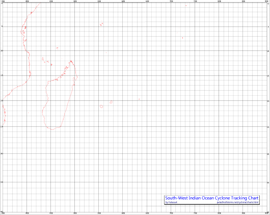
For a smaller chart, best
prints tiled on two pages. (32%)
For a smaller chart, best
prints on one page. (39% size for 2 pages)
For a smaller chart, best
prints on one page. (34% size for 2 pages)